
 01
Borehole Caliper Logging Tool
Measures borehole diameter variation during geophysical logging.
Selection points
- Diameter range
- arm arrangement
- probe dimensions
Loading…
26 matching equipment records
Equipment-type guides and manufacturer/model references. Supply configuration, price and availability are confirmed for your requirement.
01Measures borehole diameter variation during geophysical logging.
Selection points
 02
Measures fluid movement within a borehole to support flow logging.
Selection points
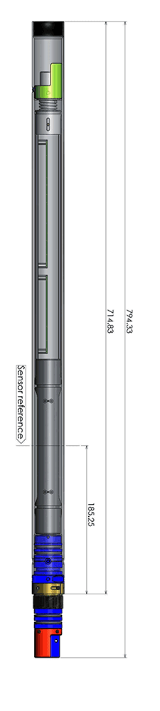 03
Measures inclination and magnetic azimuth to calculate a drilling borehole trajectory.
Selection points
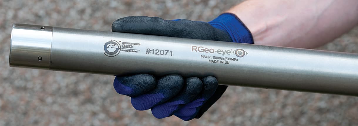 04
Records visual evidence inside boreholes, wells and other accessible vertical cavities.
Selection points
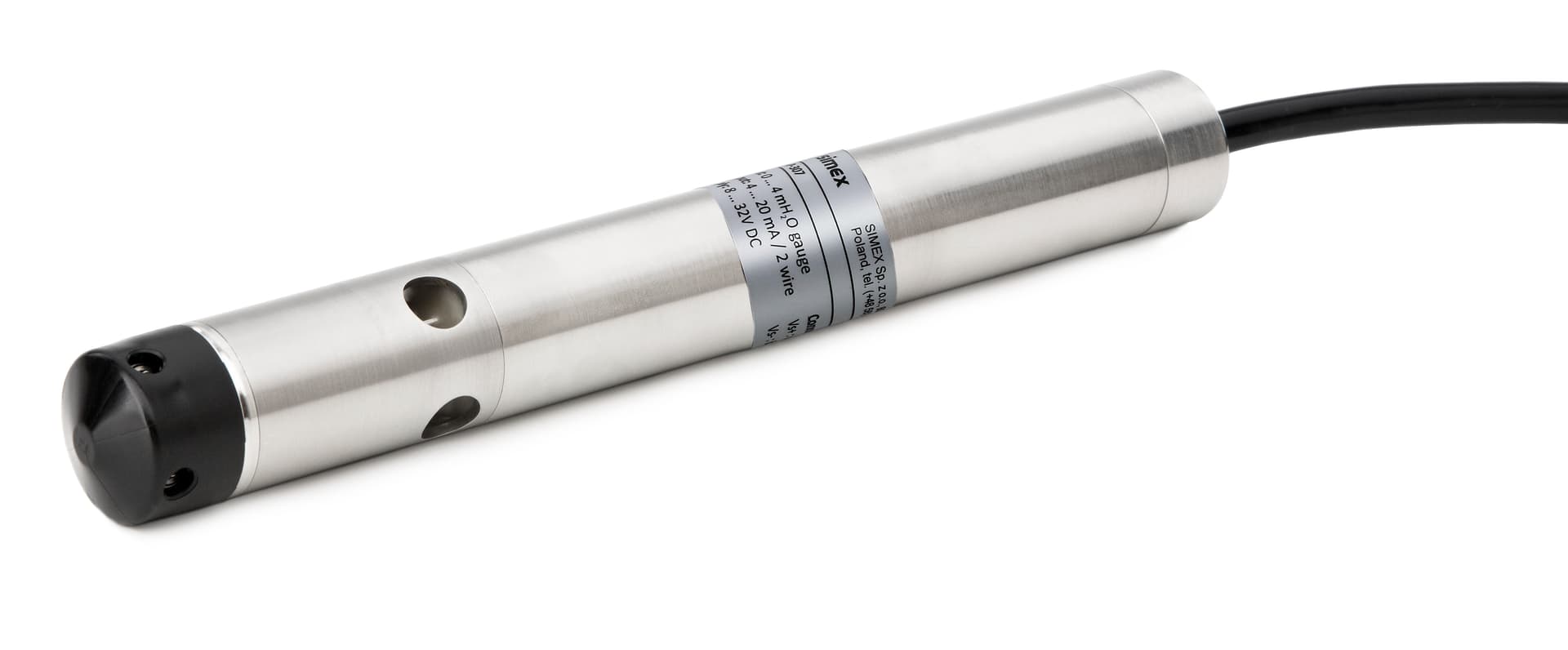 05
Logs water temperature and electrical conductivity along a borehole.
Selection points
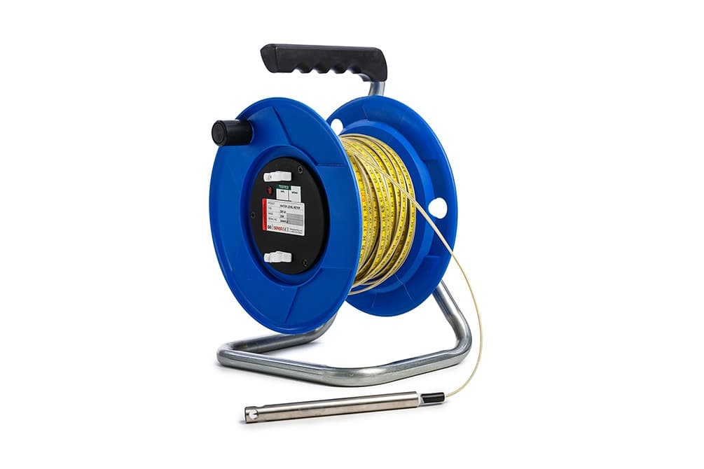 06
Measures the depth to water in a borehole or monitoring well.
Selection points
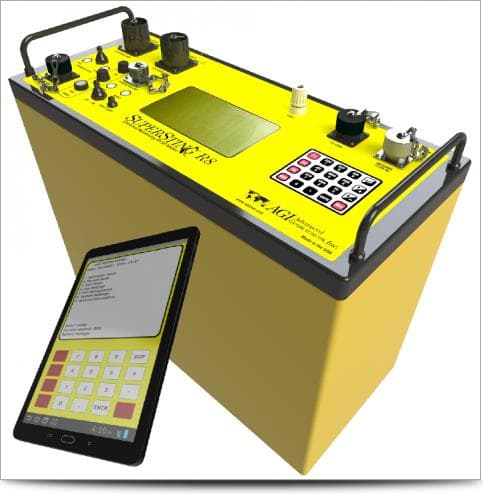 07
A field survey system for mapping differences in subsurface electrical resistivity and supporting geological investigation.
Selection points
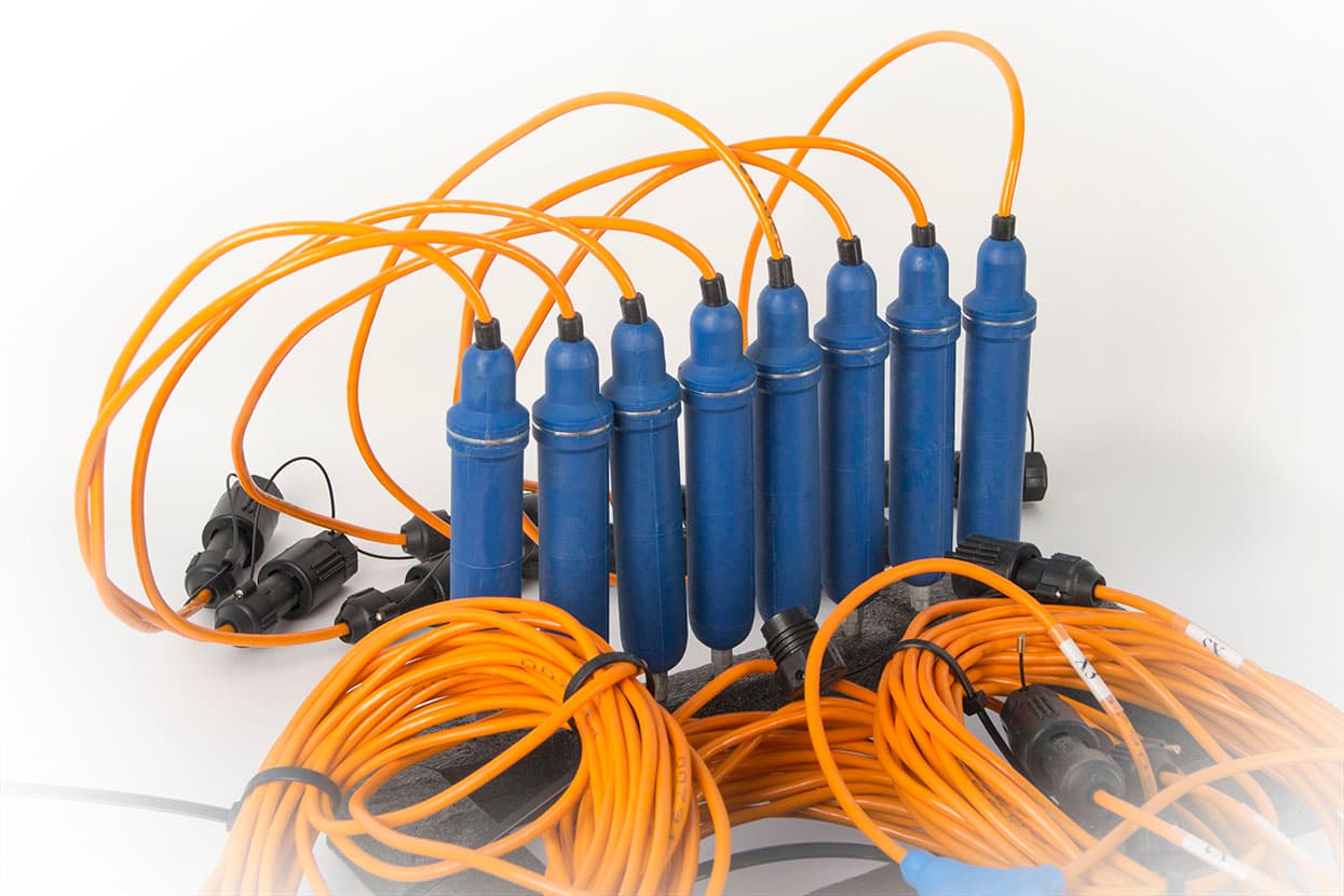 08
Provides seismic sensors and connection equipment for a compatible survey recorder.
Selection points
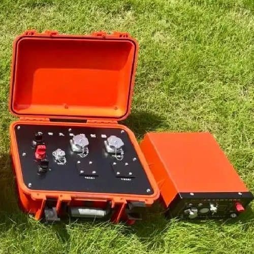 09
Collects induced polarization and resistivity measurements for geophysical investigation.
Selection points
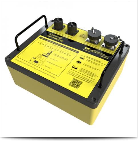 10
Automatically routes electrode connections during multi-electrode electrical resistivity surveys.
Selection points
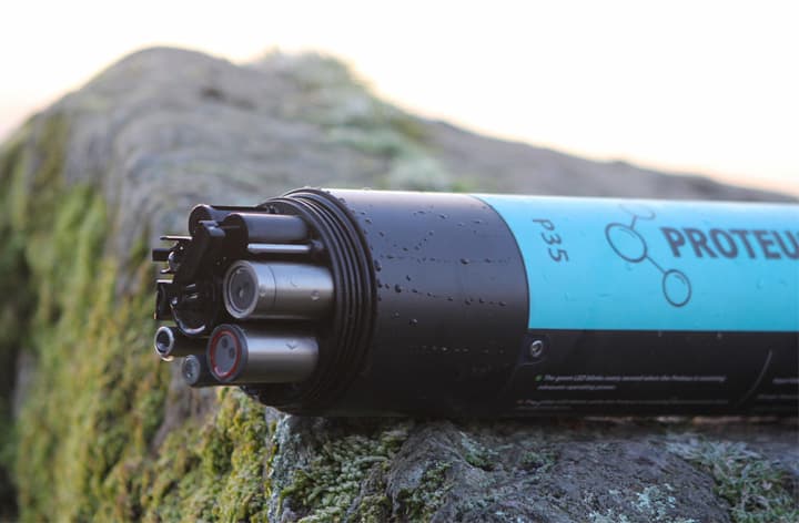 11
Measures selected water quality parameters at a field sampling location.
Selection points
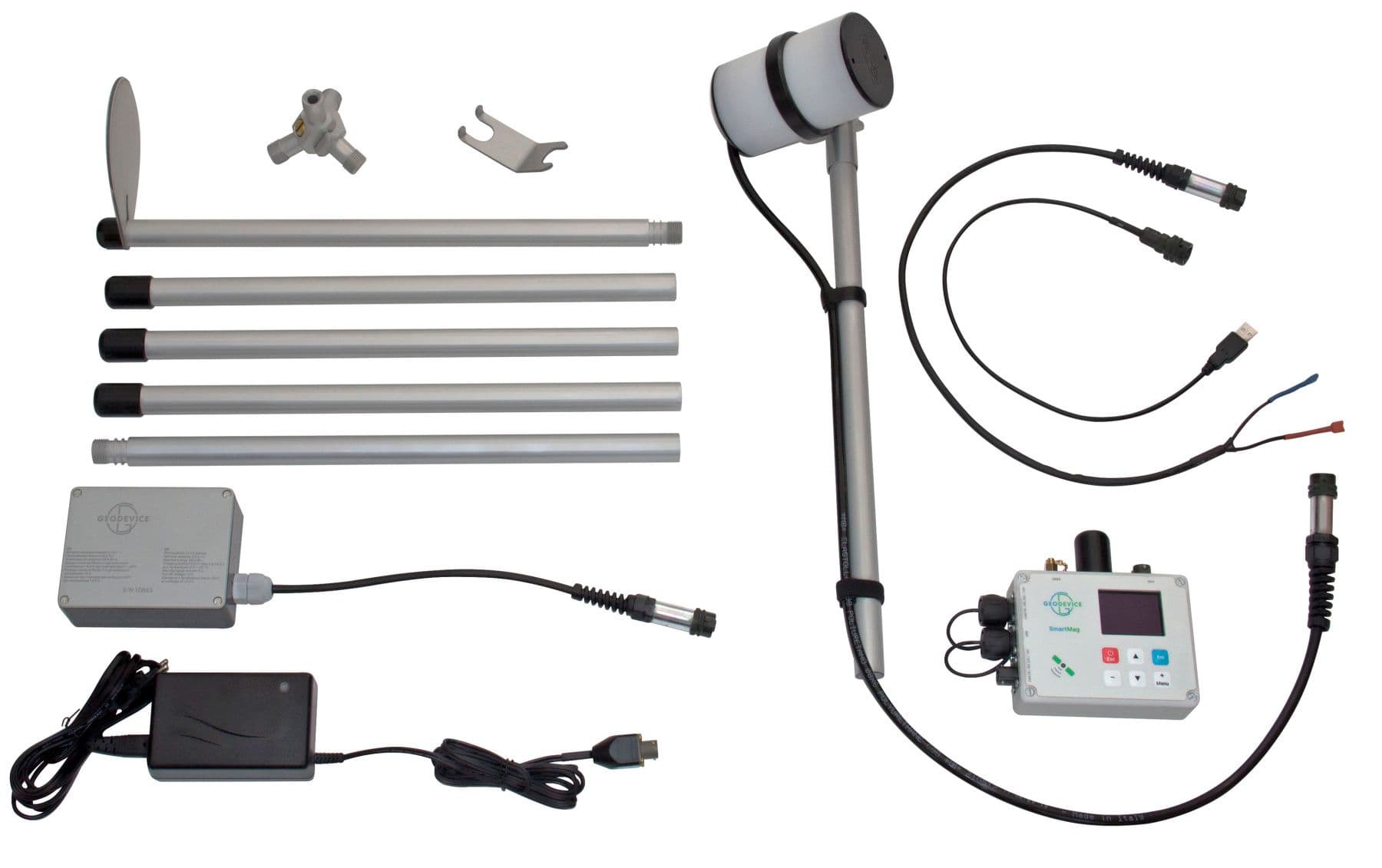 12
Measures changes in magnetic field during ground geophysical surveys.
Selection points
 13
Collects radar reflection data to investigate selected shallow subsurface targets.
Selection points
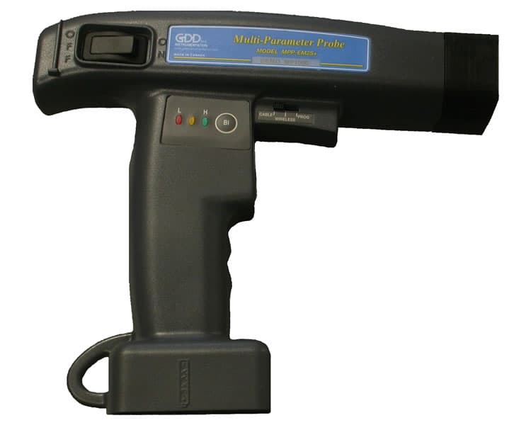 14
Assesses electrical conductivity of rock or mineral samples with a suitable solid-sample probe.
Selection points
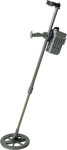 15
Detects buried metallic targets during a defined ground search.
Selection points
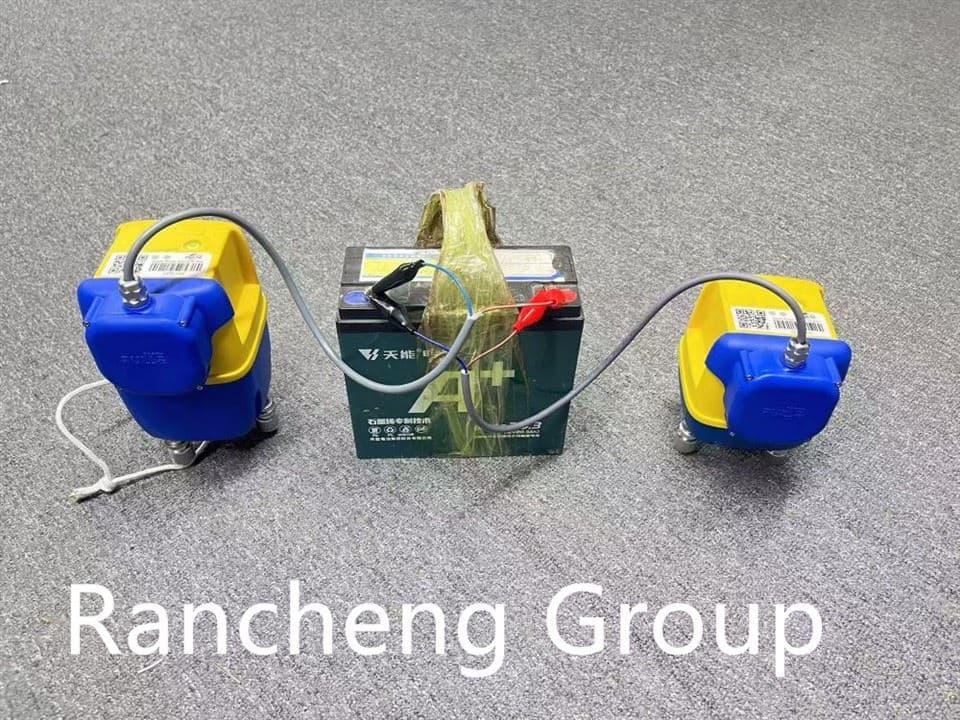 16
Records seismic arrivals along a survey line for near-surface geological investigation.
Selection points
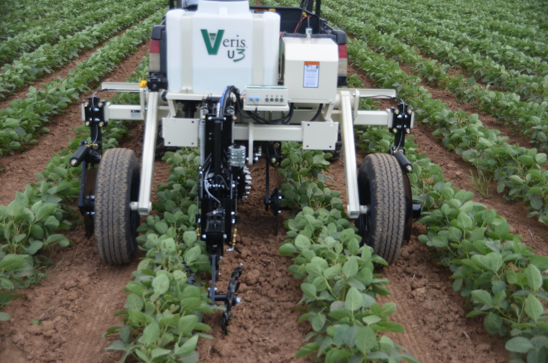 17
Maps spatial variation in soil electrical conductivity using a mobile measurement workflow.
Selection points
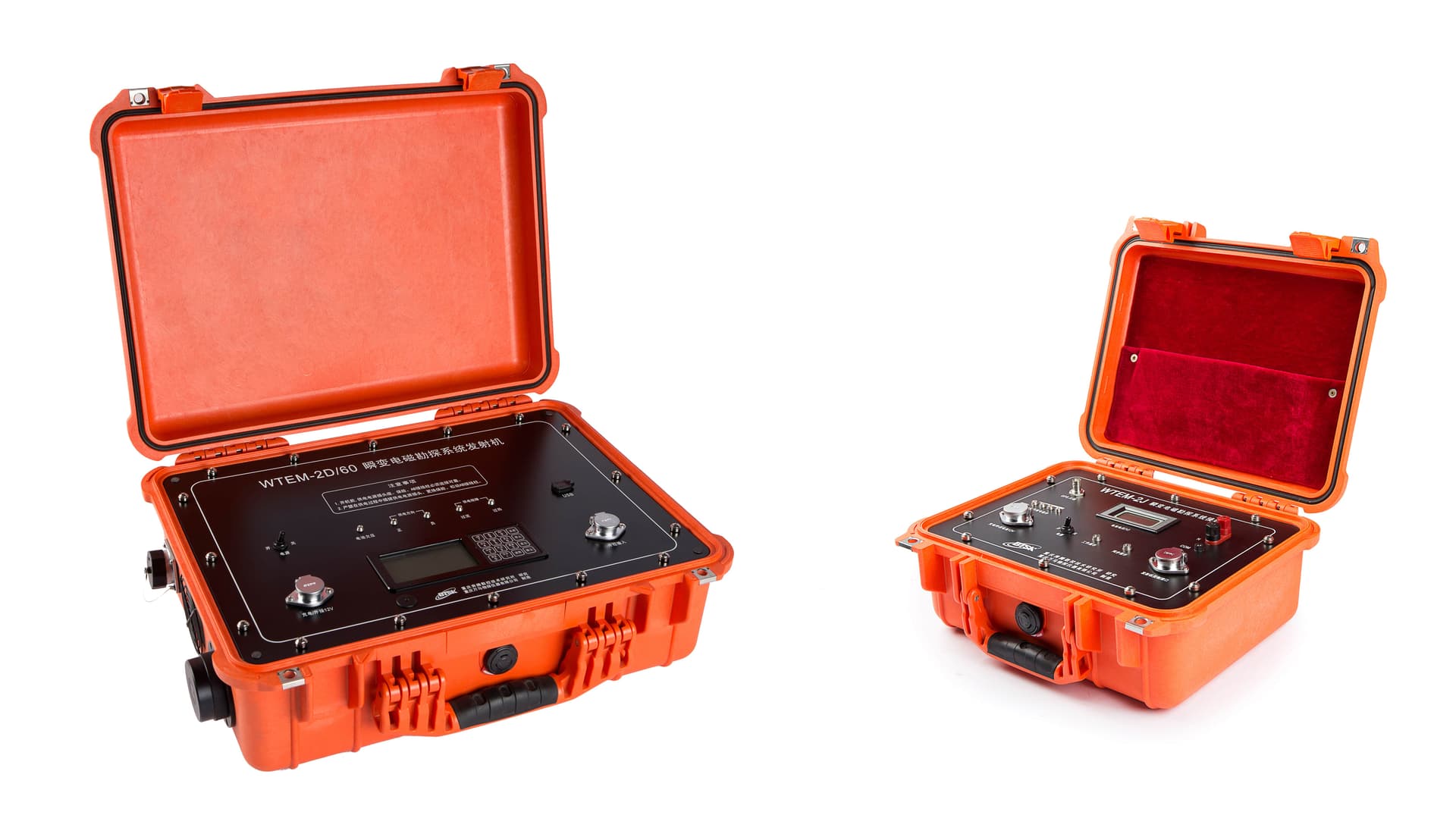 18
Acquires transient electromagnetic responses for subsurface resistivity investigation.
Selection points
 19
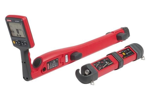
Traces compatible buried utilities using electromagnetic locating methods.
Selection points
 20
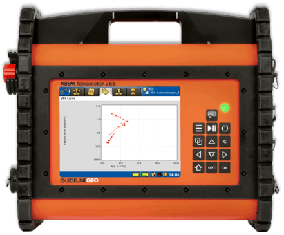
Collects resistivity measurements for vertical electrical sounding surveys.
Selection points
 21
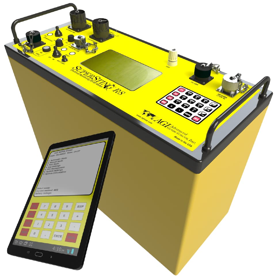
Electrical imaging for groundwater, engineering geology, environmental investigations and mineral exploration where the subsurface electrical response is an appropriate investigation method.
 22
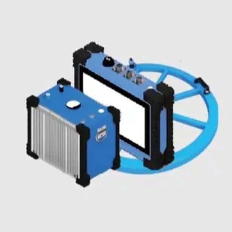
TEM investigation of subsurface electrical contrasts in engineering geology, infrastructure and environmental work, where an application review supports the method.
 23
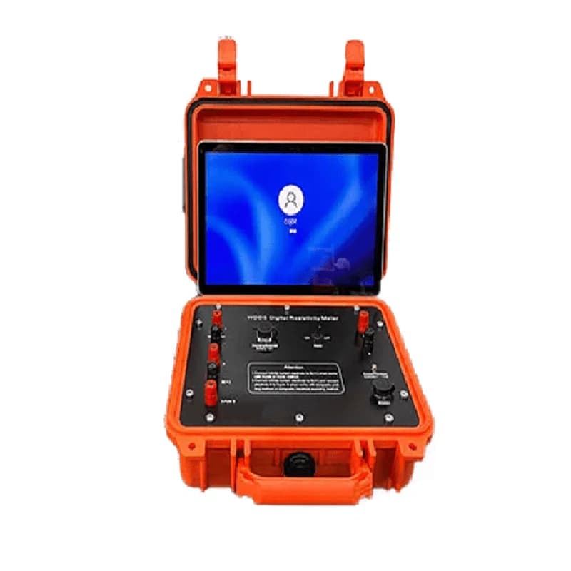
Electrical resistivity sounding and prospecting for groundwater, engineering geology, geothermal and mineral investigations where an electrode survey is appropriate.
 24
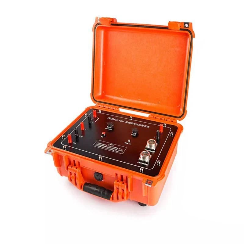
Multi-electrode electrical imaging in groundwater, engineering, environmental or mineral investigations where the site and target suit resistivity/IP methods.